
Neighborhood · São Paulo/SP
Bertioga
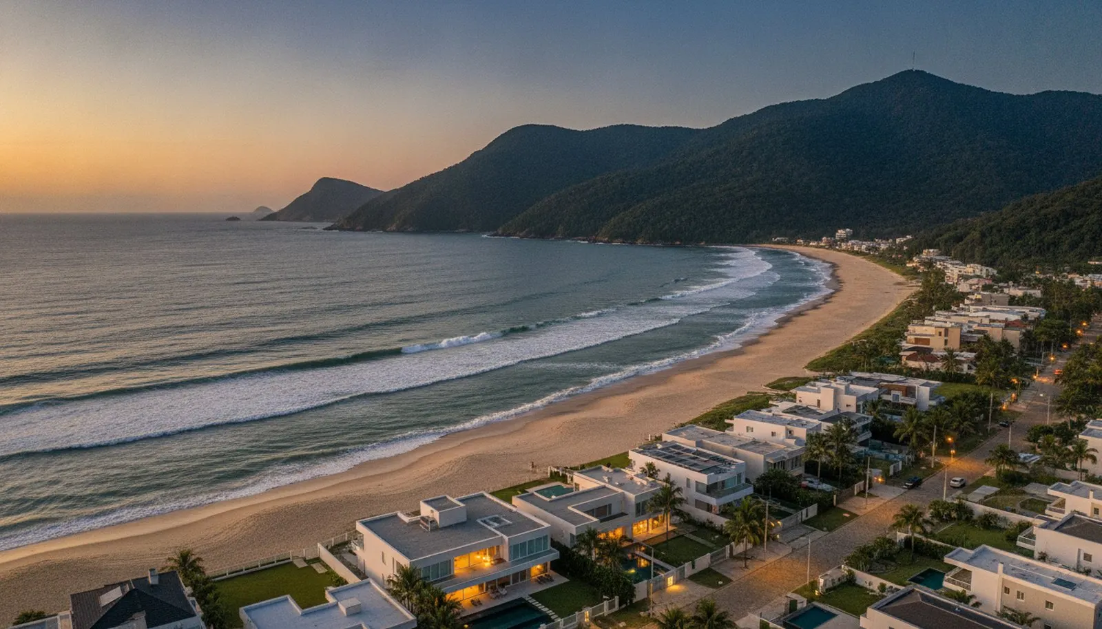
Not a São Paulo neighbourhood: it's the municipality on the north coast of São Paulo state, 120 kilometres from the capital, where a single private development occupies 1.8% of the territory and accounts for more than half the city's revenue.
The neighbourhood’s story
Bertioga was a district of Santos until it became independent in 1991, and its recent history is intertwined with that of a single project: Riviera de São Lourenço. In 1979, on a helicopter flight over a deserted beach, the owners of the tract approached Sobloco to develop nine million square metres; the contract was signed in August that year and the subdivision was approved the same year. When construction began, the access roads didn’t even exist yet — trucks and machinery arrived by barge. The Mogi-Bertioga highway opened in 1982 and the Rio-Santos in 1985.
The result is a rare case on the Brazilian coast: an entire district with its own zoning, its own sanitation, certified environmental management, and occupation rules written before the first sale and upheld for more than four decades. While most of the São Paulo coastline grew through spontaneous densification and suffers from water shortages, beach pollution and flooding, the Riviera has never recorded any of the three.
The rest of the municipality mixes open beaches, the Bertioga channel, the Atlantic Forest of the Serra do Mar, and the historic heritage of the Forte São João, from 1547.
Bertioga: the São Paulo coastline that agreed to be planned. A beach two hours from São Paulo, with private zoning and sanitation that has never failed.
The surrounding area
- Clubs: the golf club, the tennis complex and the equestrian club set up inside the Riviera; the Sociedade Hípica de Bertioga, in module 25.
- Schools: seasonal schools and basic education within the planned neighbourhood itself; reference schooling remains in the capital.
- Dining and lifestyle: the Riviera Shopping, opened in 1991, the commercial and services centre, the waterfront restaurants, and the events calendar of the Associação dos Amigos da Riviera.
- Parks: the Atlantic Forest of the Serra do Mar, the canals, and the green and institutional areas of the planned neighbourhood — 2.6 million m², almost a third of the development’s total area.
In the Fragata archive
There is 1 development from the portfolio in this area (the backlinks panel lists it): Riviera de São Lourenço.
In the Fragata collection
One address in this neighbourhood is in the collection, with its full entry. Our curation keeps mapping the rest.