
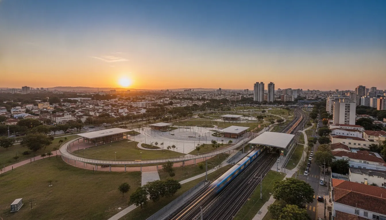
Neighborhood · São Paulo/SP
Santana
The Jesuits' farm that became the most complete neighbourhood in the northern zone: a district since 1889, a train since 1894, the metro since the 1970s — and a park where Carandiru used to be.
The neighbourhood’s story
Santana was born from the Fazenda de Sant’Ana, a property of the Society of Jesus on the far bank of the Tietê, and became a peaceful district under provincial law no. 99, of 4 April 1889, split off from Santa Ifigênia. It was the train that urbanised the neighbourhood: the Tramway da Cantareira, built in 1893 to carry material for the aqueduct that would bring water from the mountain range to the city, began carrying passengers on 23 September 1894, and Santana station anchored the settlement of Rua Voluntários da Pátria, Rua Alfredo Pujol, Rua Duarte de Azevedo and Avenida Cruzeiro do Sul. The metro’s Line 1-Blue now runs over part of that route — the former Estação Areal, which stood opposite the Casa de Detenção, is where Estação Carandiru is today. The upper part came later: Alto de Santana took shape as the settlement expanded into the hills, with a subdivision opened in 1924 on land belonging to the family of Count Alessandro Siciliano, already aimed at higher-income buyers.
There is a detail almost no one associates with property values here: Aeroporto Campo de Marte, São Paulo’s first airport and today home to Brazil’s largest helicopter fleet, imposes an aeronautical height ceiling on its surroundings. Construction above certain heights depends on authorisation from airspace control, and the radius of greatest restriction was expanded when the airport was granted its concession. Translated for the market: a tall tower in the northern zone is an authorised exception, not stock — whoever already holds the high ground tends to keep it.
The residential fabric is consolidated and the aeronautical ceiling limits height. A plot that can accommodate a tower with real land behind it is rare, and an apartment of more than five hundred square metres is a product the region practically never repeats.
Santana: the complete northern zone — metro, hospital, a school from 1923 and a park where the prison used to be. And an airport that stops the city from blocking the view.
The surrounding area
- Clubs: Clube Espéria, founded on 1 November 1899 by seven young Italians as a rowing society on the banks of the Tietê and based since 1903 on the same riverbank where it stands today, with around 80,000 m² of grounds.
- Schools: Colégio Imperatriz Leopoldina, opened in 1923 by German immigrants as the Hindenburg Schule, on Rua Voluntários da Pátria and today on Rua Pedro Doll — a name honouring another German immigrant; and Colégio Salesiano Santa Teresinha, in the neighbouring district.
- Dining and lifestyle: Rua Voluntários da Pátria and Rua Alfredo Pujol are the neighbourhood’s commercial and dining backbone; Anhembi and the Sambódromo, on the floodplain, bring the calendar of major events; and the Biblioteca de São Paulo, inside Parque da Juventude, holds more than forty thousand titles across four thousand square metres.
- Parks: Parque da Juventude, built over the former Carandiru complex with landscaping by Rosa Kliass; Horto Florestal — Parque Estadual Alberto Löfgren, created in 1896, 187 hectares at the foot of the mountain range, with the state government’s Palácio de Verão and the Museu Florestal; and Serra da Cantareira itself, which closes off the horizon.
In the Fragata archive
There is 1 development from the portfolio in the neighbourhood (the backlinks panel lists it): Brasília Excellence.
In the Fragata collection
One address in this neighbourhood is in the collection, with its full entry. Our curation keeps mapping the rest.