
Neighborhood · São Paulo/SP
Alto da Lapa
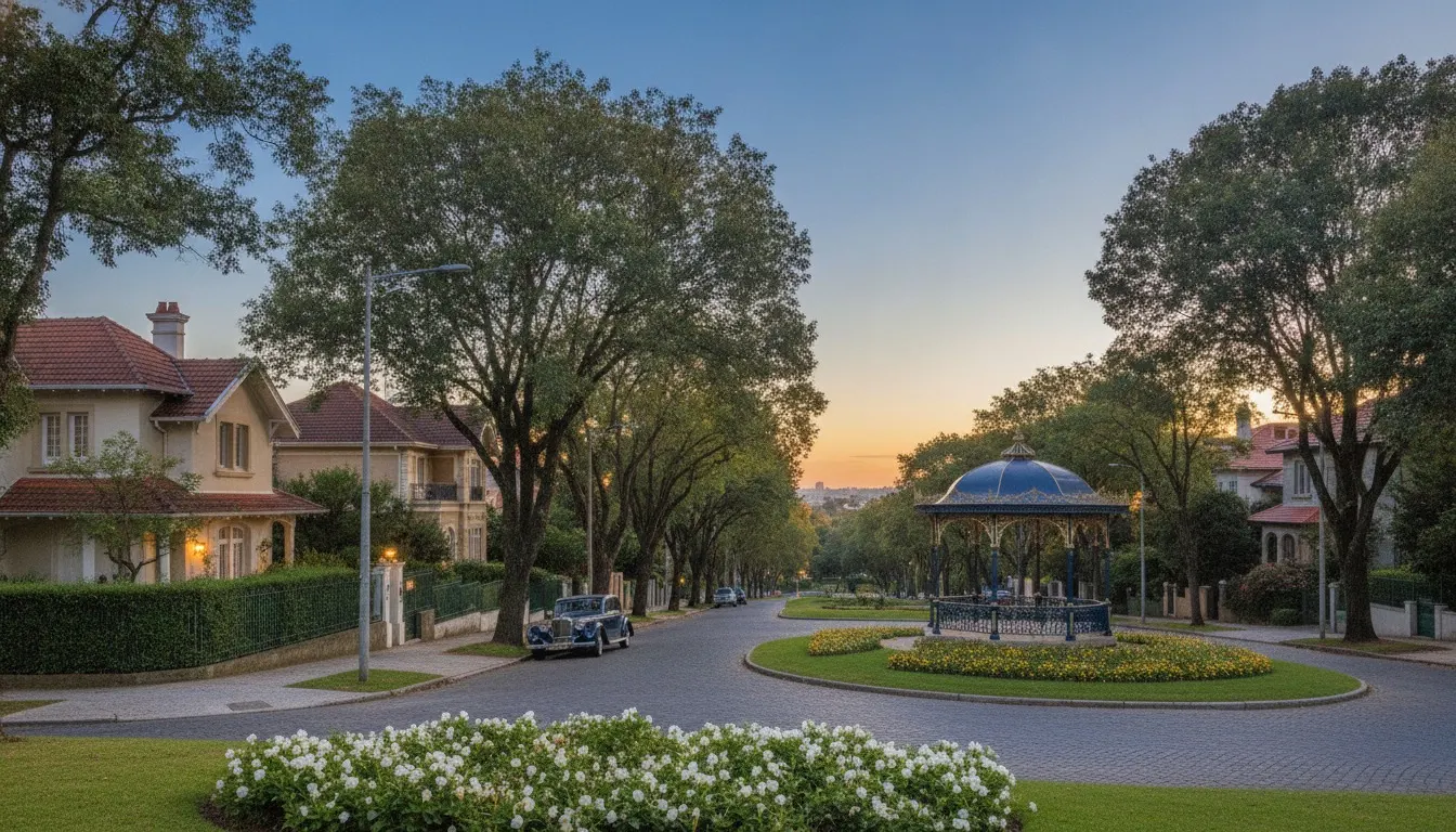
The City Lapa: 1.34 million square metres opened up by the Companhia City in 1921, laid out by the Englishman Barry Parker, and given heritage protection in 2009 — a curving street, a square at every stretch, and a height limit the law will not let rise.
The neighbourhood’s story
In 1921 the Companhia City — the same firm behind the Jardins, Pacaembu and Alto de Pinheiros district — extended its operation as far as the Lapa and opened, over around 1,342,930 m², the neighbourhoods of Alto da Lapa and Bela Aliança, which together became known as City Lapa. The urban design is by the English architect and urban planner Barry Parker: winding streets, internal gardens, many squares and dense tree cover, with plots of at least ten metres of frontage by twenty-four of depth. Sales of the plots ran until 1945. The subdivision had been conceived for the working population and ended up attracting successful immigrants, precisely because of the standard it imposed; it was also on land granted by the Companhia City that the ACM Lapa was built, the São Paulo unit of the YMCA that started small on Rua João Pereira and marked fifty years in 2013.
What freezes the landscape is the heritage listing. In 2009 CONPRESP listed the City Lapa under Resolution 3/09, citing “the extraordinary environmental and landscape quality” of the two neighbourhoods and the green space, permeable soil and street layout inherited from the original subdivision; in 2015 the protection was extended to the adjoining blocks, under Resolution 21/15, preserving most of Parker’s design. In practice: the street layout does not change, the tree cover does not come down and the height does not rise. That is why Alto da Lapa has stayed low-rise — and why the neighbourhood’s towers can be counted on one hand.
With layout, greenery and height limits protected by heritage listing, new high-end product is only born from a rare operation — buying up an entire block of houses to form a single plot. Here the stock does not renew with the market cycle: it does not renew by decision of law.
Alto da Lapa: an English garden neighbourhood from 1921 that the law froze in 2009. Curving streets, closed canopy and the quiet that the Lapa down the hill does not have.
The surrounding area
- Clubs: the ACM Lapa, built on land granted by the Companhia City and one of the neighbourhood’s oldest clubs; and the Clube Alto de Pinheiros, up Rua Cerro Corá.
- Schools: the Colégio Santo Ivo, founded in December 1966 and housed on Rua Duarte da Costa — the building is the founder’s family’s former home —, besides the schools of the Lapa and of Vila Leopoldina.
- Dining and lifestyle: Rua Cerro Corá is the neighbourhood’s commercial spine, where the bakery, the pharmacy, the bank and the restaurant are all within walking distance; originally called Via Augusta, it linked the former Estrada do Araçá, today Heitor Penteado, to the former Estrada das Boiadas, today Avenida Diógenes Ribeiro de Lima — it is the street that stitches Alto da Lapa to Alto de Pinheiros district and to Vila Madalena district.
- Parks: the Praça John Lennon, opened in January 1981 between Rua Duarte da Costa, Rua Barão do Amazonas and Rua dos Aliados, adopted by the school on the corner; the sequence of squares from Parker’s original layout; and the Parque Villa-Lobos, across the way.
In the Fragata archive
There is 1 development from the portfolio in the neighbourhood (the backlinks panel lists them all): Ideal Alto da Lapa.
In the Fragata collection
One address in this neighbourhood is in the collection, with its full entry. Our curation keeps mapping the rest.